Harnessing artificial intelligence for smarter wildfire risk management in insurance
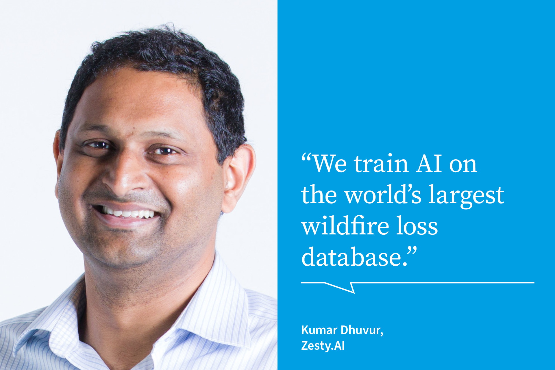
Startups are leveraging cutting-edge technology to build better tools for assessing wildfire risk. Kumar Dhuvur, co-founder and Chief Product Officer of ZestyAI, a provider of climate risk modelling software, explains how to harness AI to generate the most precise wildfire risk models.
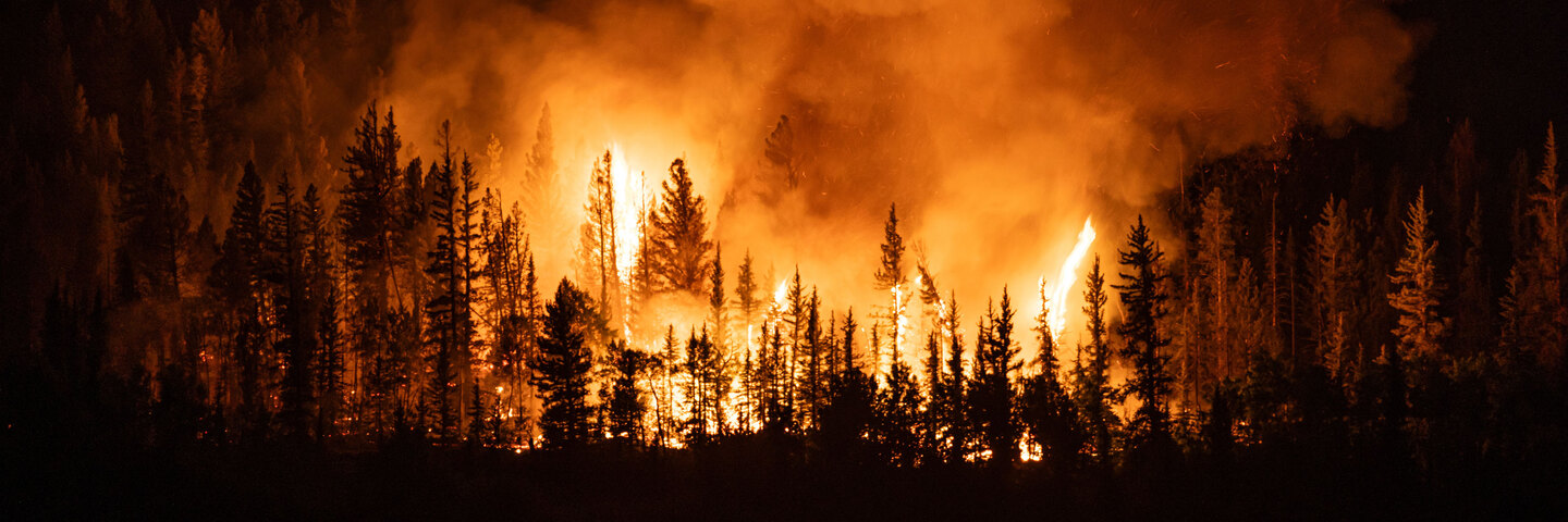
Across the globe, wildfires are becoming more frequent and intense, exacerbated in part by climate change causing more droughts and heatwaves. Recent years have demonstrated the escalating financial and environmental toll of wildfires: 2023 was the worst-ever year for global forest fires, while 2021 and 2020 were the third and fourth worst years, respectively. The financial impact has been catastrophic for insurers, with payouts skyrocketing as wildfires increase in frequency and scale. Eight of ten of the costliest wildfires took place in the last decade, and wildfires caused nearly USD 100 billion in economic losses and USD 70 billion in insured losses from 2013 to 2022.
The world’s growing wildfire problem has prompted public and private sectors to develop innovative solutions for monitoring and mitigating wildfire risks. Entrepreneurs and innovators have used cutting-edge technology to create tools − such as wildfire detection systems and monitoring satellites − which offer insurers precise, efficient and effective means of improving how they monitor and assess wildfire risk, underwrite and manage claims, and enhance customer experience.
One California-based startup has built a wildfire risk modelling platform for insurers, helping them predict both neighbourhood and property-level wildfire risk. ZestyAI’s platform trains artificial intelligence (AI) systems on what the company calls the “world’s largest wildfire loss database” which includes detailed information on every significant wildfire in the US from 2000 to the present, representing nearly 100 percent of the industry’s historical losses from wildfires,” says Kumar Dhuvur, the startup’s co-founder and Chief Product Officer.
Leveraging AI to transform unstructured data
As carriers across the US expanded into wildfire-prone states, they struggled using conventional risk assessment tools like wildfire map-based solutions and property-specific models that were not trained on loss data and lacked the granularity needed for accurate wildfire risk segmentation, Dhuvur says.
The key to providing the most precise wildfire risk assessment, according to Dhuvur, is the potent combination of AI and reams of highly relevant and unadulterated data – as opposed to the simulated data that many other wildfire risk modelling programs use.
AI algorithms depend on large troves of data to learn and identify patterns, with data quality critical to building accurate and effective AI systems. ZestyAI sources wildfire perimeter data from federal and state agencies. “We enhance this data with historical aerial imagery analysis to determine which buildings survived or were affected by each fire,” Dhuvur says. This “extensive historical dataset” feeds into its proprietary AI systems, “providing key insights into wildfire behaviour, impact and trends, improving risk prediction and mitigation.”
Artificial intelligence has been invaluable in helping the platform transform unstructured data − large collections of data sets that could be made up of anything from images to geospatial and satellite data to analytics − into structured and useful insights for insurers. Large language models (LLMs), which are AI programs that can identify and generate text, have been applied to a variety of sources such as building permits and property listing data. By incorporating such data, LLMs allow insurers to gain deeper insights into structural vulnerabilities. “This enables the platform to extract valuable property-level characteristics that are crucial for risk assessment,” Dhuvur says.
Computer vision − a field of AI that enables machines to recognise and describe humans and objects in images and videos − is also used to extract detailed property characteristics from aerial and satellite imagery, such as defensible space, overhanging vegetation and building materials. As Dhuvur explains, “Integrating this imagery with additional data sources provides a comprehensive view of wildfire risk that can predict which properties are most at risk during a wildfire and which are more likely to survive – surpassing traditional models’ assessments.”
Machine learning techniques like gradient boosting machines (GBMs) help the platform analyse how different property attributes interact, from climate and topography to construction details. According to Dhuvur, in modelling risk these machines fare better than traditional and non-AI models, such as generalised linear models that treat all factors the same without accounting for how they could interact in more complex ways. “GBMs excel at identifying and modelling complex interactions. They can recognise that the risk posed by nearby vegetation might be higher in certain climates or areas with particular terrain, for instance, when the property is on sloped land. This ability to account for the unique risk factors of each property results in a more tailored and precise risk score, providing a much more accurate reflection of the true wildfire risk a property faces − especially in areas where those risks can vary dramatically from one property to the next.”
A new toolkit for insurers
For insurers, employing a toolkit that can deliver highly detailed property-level insights for assessing wildfire risk means more informed underwriting decisions and the ability to set premiums that better align with actual risk.
“By understanding which factors most strongly drive wildfire risk, insurers can incentivise mitigation efforts, such as clearing vegetation or improving building materials, which helps reduce potential losses.”
This approach enables insurers to not only lower claims costs but also foster stronger partnerships with policyholders by supporting proactive risk management efforts.
Continued advances in other technologies, like sensors and remote detection, have also translated into easier accessibility and use. Sensor and remote detection technology hold the ability to “provide real-time environmental data that can be integrated into predictive models, enabling insurers to monitor risk dynamically and adjust their pricing models accordingly,” Dhuvur says.
As wildfires continue to challenge insurers globally, the adoption of AI-powered risk models offers them a key tool to help get ahead of this emerging risk. “These advances open up new possibilities for insurers to more accurately assess risk and price premiums based on detailed property data,” Dhuvur says. Platforms like ZestyAI offer the precision and foresight needed to safeguard both businesses and communities.
ZestyAI is an artificial intelligence-powered property and climate risk model that predicts neighbourhood and property-level wildfire risk for every structure in the United States. It was the first AI-powered model approved as part of a carrier rate filing in California.
User questions
Answered questions
Unanswered questions
Views: 926
Downloads: 0
| 0 % | |
| 0 % | |
| 0 % | |
| 0 % | |
| 0 % |
Page is favored by 0 user.
Contact inquiries: 0