
Space – a new frontier for insurers
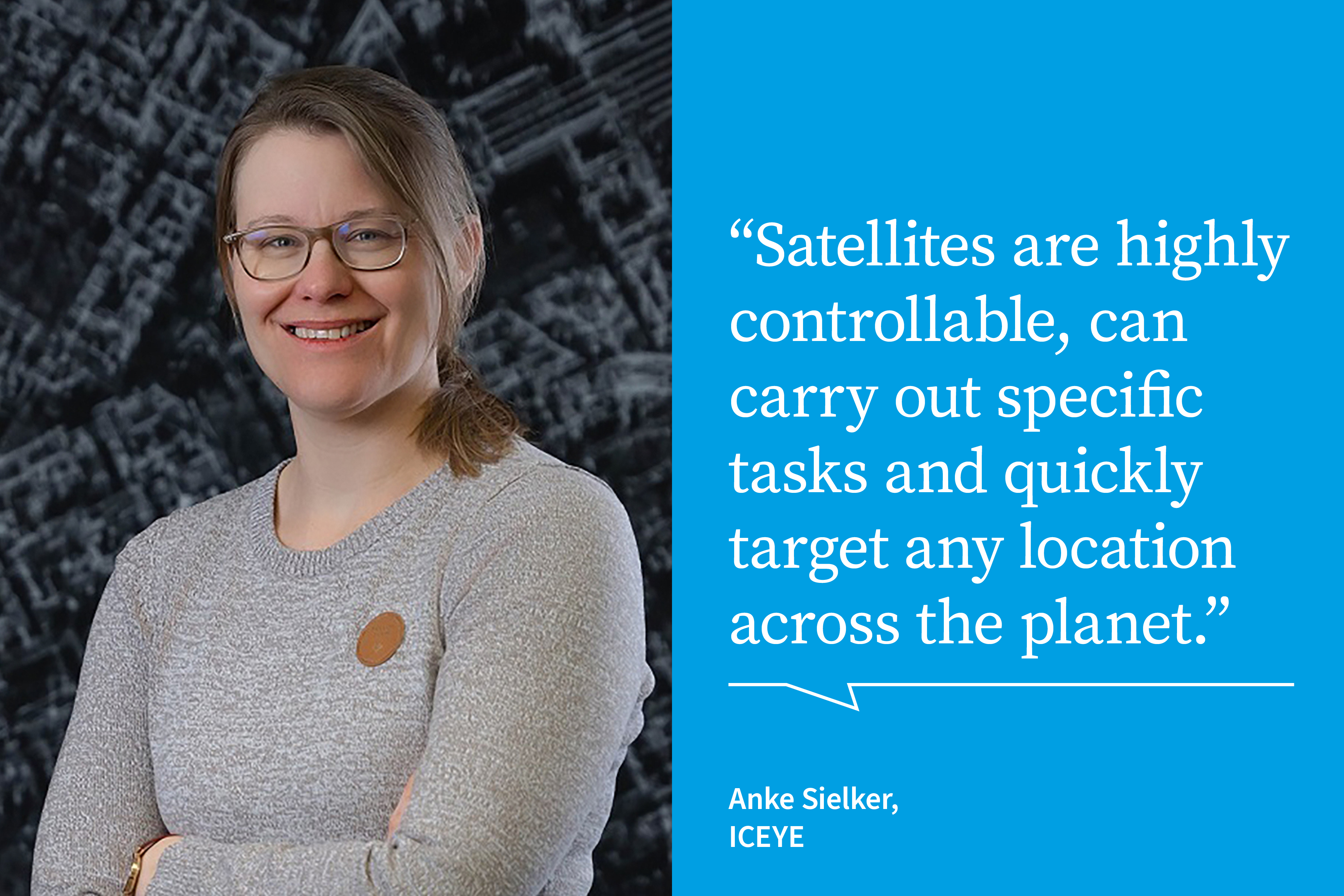
Insurers can benefit from advances in space technology and data − and from the growing number of satellites. Anke Sielker, Head of Reinsurance Practice at ICEYE, explains how.
According to recent data from the satellite-tracking website Orbiting Now, there are currently around 10,000 active satellites in orbit . That number is expected to rise significantly in the next few years as space technology becomes more sophisticated and satellite applications increase.
One compelling use case is insurance. Satellites provide unique viewpoints and granular data, which can help us understand what’s happening on Earth and how to manage risks more effectively across the insurance lifecycle. Climate change, natural disasters, land use, infrastructure and physical assets are just some of the focus areas.
The evolution of satellite technology
Anke Sielker, who heads reinsurance at ICEYE, a global provider of satellite-powered disaster management solutions which can monitor any location on Earth, explains the background to today’s satellite boom, and why it’s exciting the interest of insurers.
“Although Earth observation technology has existed for decades, the resolution, frequency, speed and accuracy of imaging have not been great,” says Sielker. “Also, the technology has simply been too costly to benefit insurance companies.”
However, Sielker says things are changing because of technological progress, the growth of the private sector, and the development of aerospace projects. The so-called ‘New Space’ sector has generated many space initiatives, she says, further increasing the potential of satellite technology and the pace of development.
“Image resolution is one of the most significant advances,” notes Sielker. “For example, satellites can now capture and deliver images of sufficient clarity and granularity and at sufficient speed for insurers to make rapid decisions about catastrophic events as they develop.”
Sielker says cost efficiencies and faster satellite manufacture have also been important, leading to larger constellations that can capture imagery quicker, over larger areas, and with more frequent revisit rates. As a result, it’s easier to integrate satellite-derived data into insurance ecosystems.
“Moreover, advances in AI, machine learning and other technologies are enhancing the power and accuracy of satellites, as well as the ability to combine imagery with on-the-ground data sources.”
SAR satellite constellations
Sielker describes how synthetic aperture radar (SAR) technology is taking the power of satellites to new levels of precision and accuracy. “Advancements in SAR technology have been critical for satellite imaging in the public and private sectors,” she says. “SAR sensors differ from optical systems because they emit their own energy to illuminate and record objects or areas on the Earth. This means that SAR-enabled satellites can capture images both day and night."
"Further, SAR sensors see through clouds, rain, fog or smoke, capturing images of damage that might otherwise be concealed. This near real-time situational awareness is a great asset for insurers.”
As Sielker explains, miniaturisation of SAR technology has enabled sensors to be attached to smaller, more affordable spacecraft and has led to the growth of much larger satellite constellations, which is where ICEYE is pushing the boundaries for satellite applications across a wide range of industries.
“We own and operate the largest constellation of SAR satellites,” she says. “ICEYE launched the first proof-of-concept microsatellite mission with a SAR-sensor payload in 2018, and to date has deployed 34 satellites into orbit. This can provide almost instantaneous access to hazard and damage data, with a degree of image resolution that was impossible before.”
Satellite data and parametric insurance
Parametric solutions are becoming more prevalent for risk transfer and rapid claims settlement, and high-resolution satellite data is particularly useful when a loss event is triggered. Parametric insurance requires a granular understanding of perils and exposure levels, which satellite imagery can enable.
“As an independent third party, ICEYE can provide satellite data rapidly that reveals whether parametric thresholds have been reached, such as flood extent or depth in a specific area, or number of buildings destroyed by wildfire,” says Sielker. “This data can support much faster payments to those impacted by a particular event.”
With climate change making flood and wildfire events more likely in areas not previously considered at risk, satellite technology will become increasingly important in regions that lack on-the-ground monitoring capabilities.
For example, Sielker says that ICEYE is supporting several parametric initiatives, including ones led by the United Nations Development Programme (UNDP) and the Insurance Development Forum (IDF). These projects provide protection to vulnerable communities that have high exposure to flood risk. As an independent data provider, ICEYE delivers detailed hazard data in the event of a flood.
Other insurance applications
The potential applications of satellite-based data and technology go beyond climate change and disaster response: “SAR satellites can revisit any location daily or sub-daily, capturing data at levels down to 50-centimetre resolution,” says Sielker. “They can home in on specific assets or scan an area of up to 840 km by 100 km, giving insurers a unique persistent monitoring capability.”
These hazard insights can be applied to many parts of the insurance ecosystem. By way of example, Sielker highlights model validation practices, risk pricing processes, risk mitigation, claims assessment and fraud investigation. Satellites could also be used to confirm the accuracy of geocoding for an asset or portfolio of assets. Another application which ICEYE is exploring involves using satellite imaging to assess levels of change in individual buildings and the extent of wind damage following hurricanes and cyclones. This could significantly improve the accuracy of underwriting and the speed of claims assessments.
Future developments in insurance
“The ability to see any location in ever greater detail means we can track changes and patterns at a forensic level,” says Sielker.
“As satellite technology advances and is integrated with other technologies such as AI, we’ll be able to monitor high-risk events before, during and after they happen. For insurers it’s a new world of risk management possibilities, seen from space.”
ICEYE owns the world's largest synthetic aperture radar (SAR) satellite constellation. It provides objective, near real-time insights and actionable data, day or night, across all regions. ICEYE works with governments and commercial industries and provides space intelligence for sectors such as insurance, natural catastrophe response and recovery, security, maritime monitoring and finance.
User questions
Answered questions
Unanswered questions
Views: 2100
Downloads: 0
| 0 % | |
| 0 % | |
| 0 % | |
| 0 % | |
| 0 % |
Page is favored by 0 user.
Contact inquiries: 0